HoloBuilder by FARO
HoloBuilder by FARO
Project Info
- Free Trial 21 days
- Pricing On request
- E-mail info@holobuilder.com
- Website: www.holobuilder.com/
- Location: Switzerland/USA
Platform Features
HoloBuilder has been pioneering the space of Construction Progress Management in 360° since 2015.
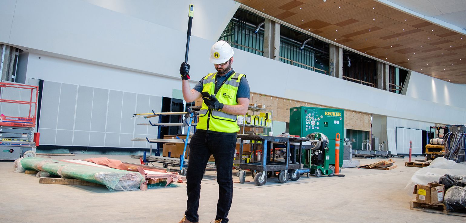
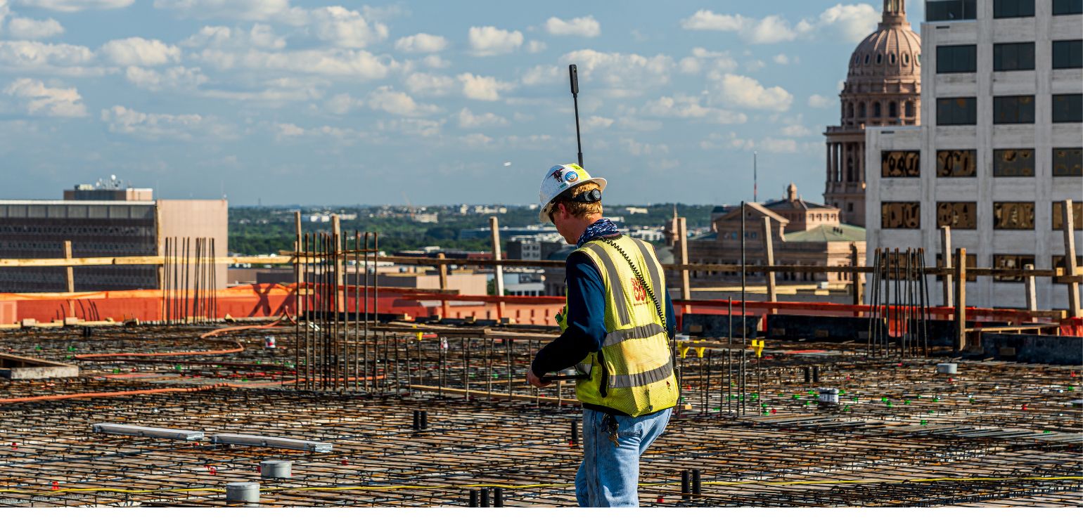
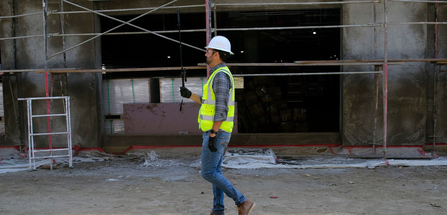
The platform’s primary function is to document construction jobsite in the most efficient and effective manner available. The HoloBuilder JobWalk app simplifies the process, enabling the easy capture of 360° and 2D photos, which are then automatically categorized by project, floor plan, and date/time.
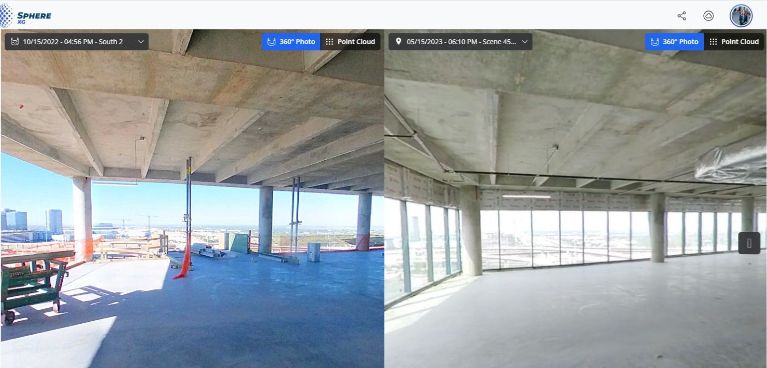
Photos are immediately accessible, ensuring your project is comprehensively documented and recorded for photographic evidence of progress, available anytime and anywhere you require. Effortlessly juxtapose 360° photos alongside your BIM models, historical images, and project timelines to verify that project development aligns with plans. Utilize mark-ups, annotations, and tags on photos to centralize task coordination around a unified source of truth, ensuring all teams are harmonized and projects progress smoothly.
HoloBuilder is designed with top-tier end-to-end encryption and stringent security protocols. Its sophisticated 7-tier user management hierarchy enables Enterprise Admins to grant data access strictly on a “need to know” basis, ensuring the system remains secure and compliant.
Innovations
Built for general and specialty contractors, owners, architects, engineering firms, and construction management firms, HoloBuilder™ improves your workflow, leverages collaboration, and increases transparency by allowing you to share the same information and perspective with everyone.
Navigating through different platforms to access 3D point cloud data, 360° photos, and 3D design models can be cumbersome within a large construction firm, especially when datasets need to be cross-referenced to track project progress. Often, data is stored in isolated silos, causing coordination issues and interrupting team workflows, which can lead to project delays and financial setbacks.
Sphere XG
FARO Sphere XG simplifies this process by providing a single platform where you can upload, view, share, measure, and manage all your point clouds, 360° photos, and 3D models. It consolidates all reality capture data, whether from static laser scanning, mobile LiDAR scanning (using tools like SiteScape™), or 360° photo capture, alongside your 3D or BIM models, in one integrated digital reality platform.
With Sphere XG, 3D point clouds and 360° photo documentation can be viewed and shared all in one place, aligned to a floorplan and viewable over time. Ideal for 4D construction progress management where the ability to compare elements over time is critical, project managers and VDC managers can better democratize data and eliminate the need to use two platforms for their reality capture needs.
Now you can import your georeferenced 3D models into Sphere XG and have it aligned effortlessly with your point clouds to track projects and identify potential issues, clashes, or deviations efficiently in one platform. The result is de-siloed data, greater ease of use, and the enhanced ability to share unified, accurate and up-to-date 4D progress documentation in a centralized location.